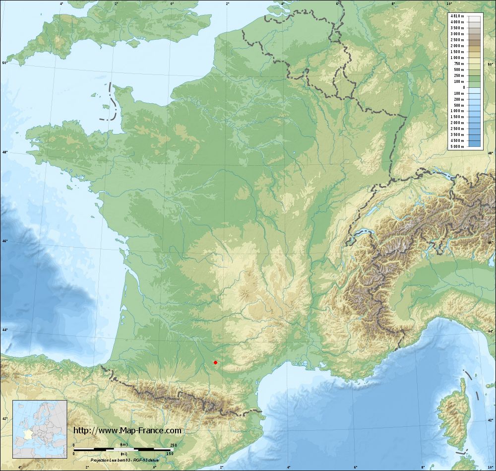
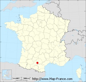
La Salvetat-Lauragais on the relief France map in Lambert 93 coordinates
|
See the map of La Salvetat-Lauragais in full screen (1000 x 949)
|
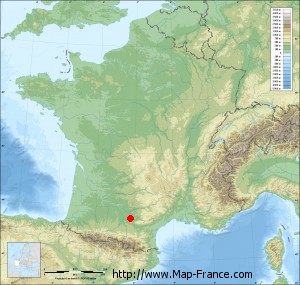
At left, here is the location of La Salvetat-Lauragais on the relief France map in Lambert 93 coordinates.
Here are the altitudes of La Salvetat-Lauragais :
- Town hall altitude of La Salvetat-Lauragais is 230 meters
- Minimum altitude of La Salvetat-Lauragais is 177 meters
- Maximum altitude of La Salvetat-Lauragais is 255 meters
- Medium altitude of La Salvetat-Lauragais is 216 meters
Here are the altitudes of Toulouse, prefecture of Haute-Garonne department:
- Town hall altitude of Toulouse is 146 meters
- Minimum altitude of Toulouse is 115 meters
- Maximum altitude of Toulouse is 263 meters
- Medium altitude of Toulouse is 189 meters
Here are the altitudes of the french biggest cities:
Paris : 33 meters
Marseille : 20 meters
Lyon : 237 meters
Toulouse : 146 meters
Nice : 10 meters
Nantes : 20 meters
Strasbourg : 144 meters
Montpellier : 35 meters
Bordeaux : 16 meters
Lille : 20 meters
Rennes : 35 meters
Reims : 83 meters
Click here for the terrain map of La Salvetat-Lauragais in full screen:
Relief map of La Salvetat-Lauragais
|
This relief map of La Salvetat-Lauragais is reusable and modifiable by making a link to this page of the Map-France.com website or by using the given code :
|
Terrain base map of La Salvetat-Lauragais
|
See the terrain base map of La Salvetat-Lauragais in full screen (1000 x 949)
|
Small relief base map of La Salvetat-Lauragais
|
This base map of La Salvetat-Lauragais is reusable and modifiable by making a link to this page of the Map-France.com website or by using the given code :
|
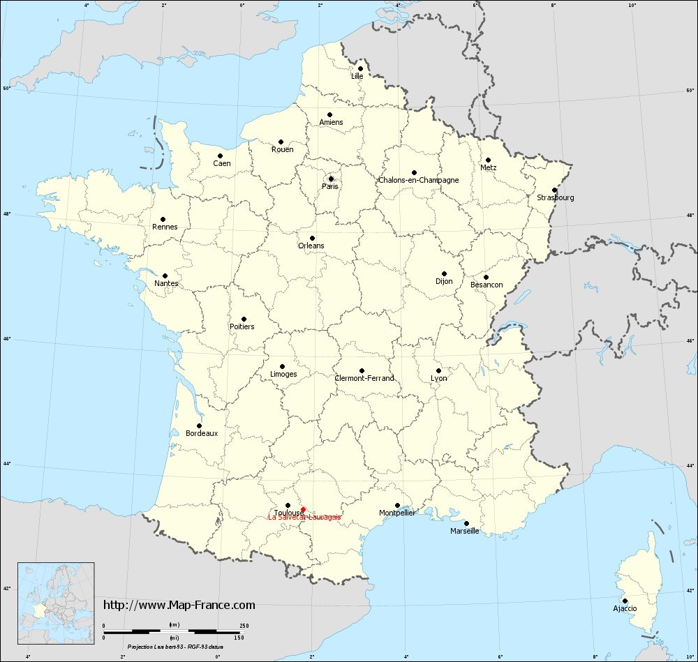
Map of La Salvetat-Lauragais with regions and prefectures
|
View the map of La Salvetat-Lauragais in full screen (1000 x 949)
|
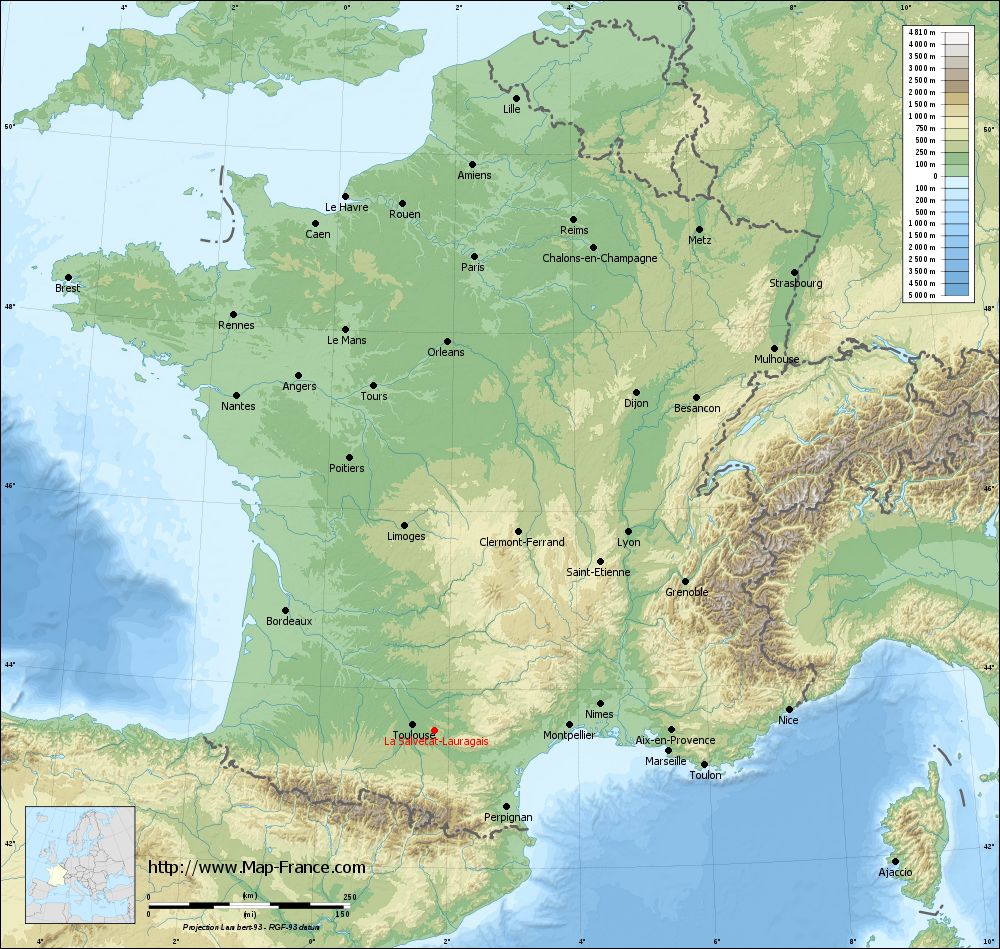
You will find the location of La Salvetat-Lauragais on the map of France of regions in Lambert 93 coordinates. The town of La Salvetat-Lauragais is located in the department of Haute-Garonne of the french region Midi-Pyrénées.
Geographical sexagesimal coordinates / GPS (WGS84):
Latitude: 43° 32' 32'' North
Longitude: 01° 47' 44'' East
Geographical decimal coordinates :
Latitude: 43.541 degrees (43.541° North)
Longitude: 1.794 degrees (1.794° East)
Lambert 93 coordinates :
X: 6 026 hectometers
Y: 62 722 hectometers
Lambert 2 coordinates :
X: 5 562 hectometers
Y: 18 379 hectometers
Below, the geographical coordinates of Toulouse, prefecture of the Haute-Garonne department:
Geographical sexagesimal coordinates / GPS (WGS84):
Latitude: 43° 36' 16'' North
Longitude: 01° 26' 31'' East
Geographical decimal coordinates :
Latitude: 43.6 degrees (43.6° North)
Longitude: 1.45 degrees (1.45° East)
Lambert 93 coordinates :
X: 5 742 hectometers
Y: 62 796 hectometers
Lambert 2 coordinates :
X: 5 277 hectometers
Y: 18 451 hectometers
|
This map of La Salvetat-Lauragais is reusable and modifiable by making a link to this page of the Map-France.com website or by using the given code :
|
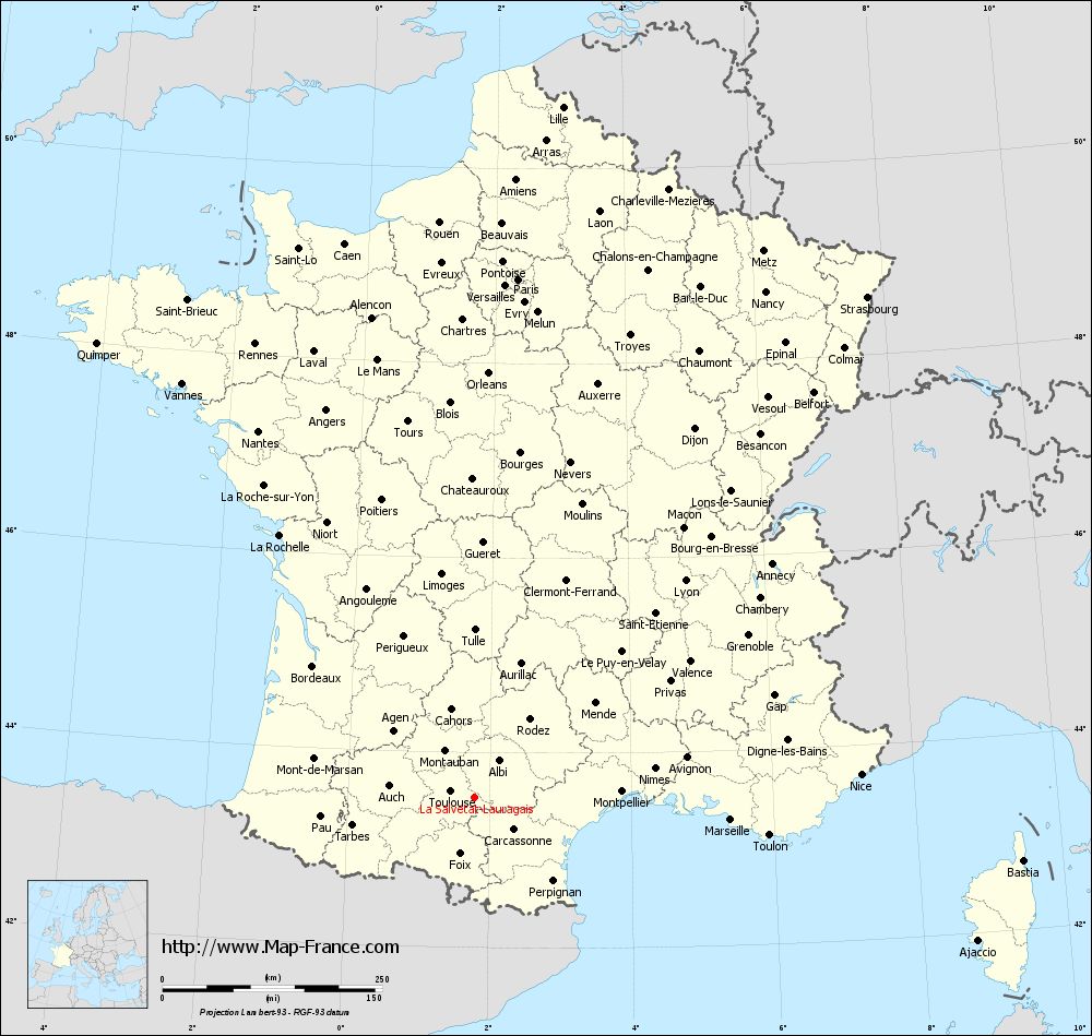
Map of La Salvetat-Lauragais with departments and prefectures
|
Voir la carte of La Salvetat-Lauragais en grand format (1000 x 949)
|
Here is the localization of La Salvetat-Lauragais on the France map of departments in Lambert 93 coordinates. The city of La Salvetat-Lauragais is shown on the map by a red point.
The town of La Salvetat-Lauragais is located in the department of Haute-Garonne of the french region Midi-Pyrénées.
The latitude of La Salvetat-Lauragais is 43.541 degrees North.
The longitude of La Salvetat-Lauragais is 1.794 degrees East.
Here the distance between La Salvetat-Lauragais and the biggest cities of France:
Distances are calculated as the crow flies (orthodromic distance)
Distance between La Salvetat-Lauragais and Paris : 592.57 kilometers
Distance between La Salvetat-Lauragais and Marseille : 292.19 kilometers
Distance between La Salvetat-Lauragais and Lyon : 344.23 kilometers
Distance between La Salvetat-Lauragais and Toulouse : 28.44 kilometers
Distance between La Salvetat-Lauragais and Nice : 440.09 kilometers
Distance between La Salvetat-Lauragais and Nantes : 484.94 kilometers
Distance between La Salvetat-Lauragais and Strasbourg : 724.26 kilometers
Distance between La Salvetat-Lauragais and Montpellier : 167.59 kilometers
Distance between La Salvetat-Lauragais and Bordeaux : 237.78 kilometers
Distance between La Salvetat-Lauragais and Lille : 793.04 kilometers
Distance between La Salvetat-Lauragais and Rennes : 574.14 kilometers
Distance between La Salvetat-Lauragais and Reims : 657.83 kilometers
Clic here to see the map of La Salvetat-Lauragais in full screen:
La Salvetat-Lauragais on the map of french departments
|
This administrative map of La Salvetat-Lauragais is reusable and modifiable by making a link to this page of the Map-France.com website or by using the given code :
|
Administrative base maps of La Salvetat-Lauragais
|

See the administrative base map of La Salvetat-Lauragais in full screen (1000 x 949)
|
Small administrative base map of La Salvetat-Lauragais
|
This base map administrative of La Salvetat-Lauragais is reusable and modifiable by making a link to this page of the Map-France.com website or by using the given code :
|
 French Version : http://www.cartesfrance.fr